Mostrando las entradas con la etiqueta Ghost town. Mostrar todas las entradas

domingo, 1 de septiembre de 2013

Trip to Melmont, the Ghost Town.


Our trek to Melmont started out with a darkening of the sky and sudden, heavy rainfall. Mists rolled in very suddenly, and seemed to linger right above the old site of Melmont. 

We had to cross an ancient and very tall bridge, which seemed to rock violently with each car that drove across. Convinced we were entering Silent Hill, we parked the car and headed off on foot. 

We came across a woman, standing in the middle of the bridge, staring off down into the abyss. She seemed very gloomy and there was desperate air about her. We lingered purposefully for a while, chatting to her a bit about the area, but really to gauge her suicidal tendencies (sometimes I think I've been in the suicide-prevention business too long). 

She only responded "I've never heard of Melmont, or any ghost town around here." We watched until we felt sure she was not a jumper, and then started down the narrow, steep trail to Melmont.


We came across a number of ruins and a small structure made of stone. We took a number of photos of this structure and they kept coming back with a bright, rainbow beam of light through them. It was very bizarre. I felt movement and presence in the little house and didn't delay. 


creepy beam of light 


in front of the house...feeling uncomfortable


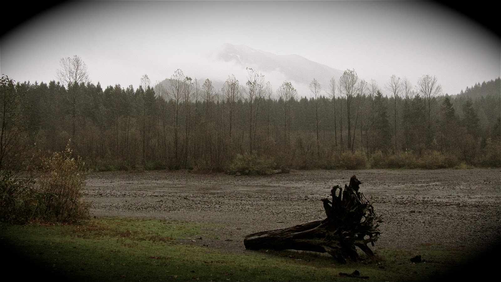
We made it to the town site at last and set up camp near the rushing river. It was a beautiful place with a tense, unexplainable feeling of something that still lurks in Melmont, a ghost of a time past perhaps, a trace left behind. 


Smoke Break!


The River that runs through Melmont


Talisman for protection!


We made it out alive...only just. 


domingo, 18 de agosto de 2013

Planning our trip through Melmont


melmont ghost town hikingwithmybrotherMelmont was founded in 1900 around the Melmont Coal Mine, producing coal exclusively for the Northern Pacific Railway. For a few years, the small town boomed, boasting a train depot, hotel, post office and schoolhouse. Although the mine yielded upwards of 750 tons of coal per day, when the railroad shifted away from coal-driven trains to more modern diesel models, the town crumbled. By 1915 the post office was shuttered, and by 1920 the mines were largely closed. A forest fire cleared out all but a few cement foundations around the same time. In 1921,the Fairfax Bridge opened above the Carbon River, bypassing Melmont’s railroad bridge and connecting Fairfax to the state highway system. When it opened, the Fairfax Bridge was the tallest in Washington, and it was added to the National Register of Historic Places in 1982.

The trail begins on the north side of the bridge with a short scramble down to the Northern Pacific’s railroad grade. From here, Melmont is an easy one-mile stroll upstream, following a wide path under mossy alders and young hemlock. However, because ATV traffic churns up a lot of earth, during the wetter months a thick layer of mud can cover the trail. Although the mud can be a little messy, it is not so bad that it will make your hike more difficult.

Shortly after you leave the bridge behind, you’ll pass a large rock retaining wall followed quickly by a structure most refer to as the “Dynamite Shack.” As you push onward, the trail splits just above an open field that was once the residential area of town. Heading uphill will lead to the crumbling foundation of one of Melmont’s schoolhouses, while pushing onward will lead to the site of the hotel and the remains of Melmont’s bridge. Either way you choose, enjoy wandering the area and finding traces of the 100-year-old town.


We hoping to camp out in Melmont in the coming weeks, I will keep you updated ^_^


martes, 1 de enero de 2013

Another Year


Song by Ralph Stanley

Photo set by Mike Eaves

viernes, 28 de diciembre de 2012

The Real Silent Hill: Centralia PA


Centralia, Pennsylvania, a ghost town that may be a little more comparable to hell on Earth.

Could it be true? Silent Hill is inspired by a real place! Centralia is a borough located in Columbia County, Pennsylvania. Since 1981, its population has dwindled from over 1,000 to its current number of seven. (The fact that even seven people still live there is baffling.) If you take a minute to look on any recently published maps, Centralia isn’t there – it has been wiped away from geographic recordings of history. Even with the few people that live there, Centralia is a ghost town.
Centralia fire.
Why anyone would remain here, I have no clue.
Here’s the story of Centralia:
In 1962, some volunteer firemen were brought in to burn the town’s landfill, which happened to be located on an abandoned strip mine. The strip mine was connected to a massive coal vein running near the surface. When the firemen lit the landfill on fire, they also happened to light the coal vein, causing a massive fire to burn beneath Centralia.
Centralia fire.
Seriously, stay away from Centralia.
Let me point something out though: the fire went unnoticed for seventeen years, from 1962 to 1979. Remember, coal burns very slowly, and a massive vein burns even slower. For seventeen years, the whole town was living normal lives above a gigantic coal-burning fire, unaware of the extreme danger they were in.
In 1979, a gas-station owner, and then mayor, John Coddington, tested the fuel level in his gas tanks. He noticed the fuel was hot, much too hot for normal storing conditions. He tested the temperature and found it to be at 172 degrees Fahrenheit. But, the problem did not receive massive attention until 1981, when a sinkhole that was four feet wide by 150 feet deep suddenly opened underneath the feet of a 12-year-old resident.
Centralia sinkhole.
One of the many sinkholes in Centralia.
Now, you may be thinking, “Phew, glad Centralia is dealt with and that fire is out.” Wrong, the fire is still burning today. There has been a massive, toxin-spewing fire burning underneath the town of Centralia for the last 49 years. And seven people still live there…
Centralia.
Centralia, as it can be seen today.


If you don't hear from me...you'll know why!


domingo, 18 de noviembre de 2012

Journey to Moncton, Rattlesnake Lake.


Today we set out to discover the remains of the lost town of Moncton. This small community existed from 1906-1915, located along the northern shore of Rattlesnake Lake.  

After a short hike through the woods, we discovered what appeared to be a barren wasteland, a desolate river bed with a lake in the middle. We saw strange shapes coming out of the water and realized we had found Moncton. It was entirely submerged.


By 1915, more than 200 people lived in Moncton, and the fledgling community had a hotel, a barbershop, a saloon, a restaurant, a few stores, and even an indoor swimming pool. A school on the north end of town provided education for children up through 8th grade. Older students had to walk or ride a horse seven miles to the nearest high school in North Bend. 


Throughout the clear-cut hillsides that rainy season, nearby residents saw springs burst forth out of the ground, not a good sign. The moraine, filled like a sponge, was squirting out water wherever it could. As more water filled the pool, and more rain fell from the skies, more pressure caused more mini-geysers to erupt in the hills above Moncton. The excess water in the moraine had nowhere to flow but into Rattlesnake Lake.


Slowly the lake began to rise. First, the water edged up to the homes nearest the shoreline. A few days later, the streets muddied, and after that, standing water filled the lower section of town. At first, residents may have hoped that the slow-motion flood would somehow be diverted elsewhere, but it soon became apparent that their community would be underwater by summer’s end. 

During the month of May, the water rose a little over a foot per day. Rowboats and a barge were floated in so furnishings and personal items could be removed. After that the levels kept increasing to the point where houses popped off their foundations, causing them to float like corks into the middle of the lake.

Moncton residents kept a stiff upper lip and hoped for the best. Although many were now homeless, those who worked for the water department or the railroad were sheltered in tents while new homes were built for them. Others were out of luck. 


The school, located on higher ground, was still in use, but a storm ripped its roof off, and classes were moved to a church on the south end of the lake. By the time Rattlesnake Lake stopped rising, the buildings on the south end were the only ones spared. 
Worried that the wreckage-strewn lake would next seep into the watershed, the City of Seattle condemned the town of Moncton. A total of $47,658.03 was paid to residents for their land. The next year, water levels receded enough for Seattle City Light to finish off the town. 


It was a great day well-spent alone with the wilderness, and the remains of Moncton. 


Bleak and Beautiful


All that remains of Moncton